Tourists do not come to Punggol unless someone has told them about Coney Island or they have a cousin in a BTO. That skip is understandable and slightly wasted. The north-east waterway towns — Punggol first, with Sengkang as the older sibling — are where a large share of younger households actually live, and they were planned around a canal that was widened into a park. If you want to understand the Singapore that was built after the UNESCO shophouses were already famous, you come here on a Saturday with a bicycle card and a bottle of water.
Punggol was a kampong and a jetty, then a quiet end of the island, then a new town that sold “waterfront living” to people who were balloting for a four-room flat. The marketing was glossy. The result, twenty years on, is more interesting than the brochures: LRT trains in the air, playgrounds that look specified from a catalogue, and a waterway you can cycle from the mall to the sea without crossing a trunk road at grade.
The waterway is not a scenic extra. It is the reason the town makes sense on foot.
MRT, LRT and the last kilometre
Punggol MRT (NE17 / PTC) is the interchange: North East Line from town, and the Punggol LRT on top. Waterway Point, the mall, sits on the station in the way new-town malls now do — you can arrive, grocery-shop, and go home without seeing the sky. That is convenient. It is also why visitors who only see the mall think there is nothing else.
The LRT is the local bus in the air. West Loop and East Loop serve the named estates: Cove, Meridian, Coral Edge, Riviera, Kadaloor, Oasis, Damai; Samudera, Nibong, Sumang, Soo Teck. You will not memorise them on the first visit. Pick a station near the waterway — Coral Edge, Riviera, Damai, Sumang — and walk down to the park. The trains are frequent on a weekend morning. They are also small; do not block the door with a bicycle. Folding bikes are the civil ones.
Punggol Coast, further north on the North East Line extension, is the newer end: digital district, campus, the feeling of a town that is still being finished. It is useful if you are meeting someone on that edge. It is not the romantic jetty Punggol Point used to be, though the promenade still gives you water and a wind that the inland blocks do not get.
The last kilometre is almost always a walk or a ride along the waterway, not another train. Signage is decent. Shade is uneven. On a 32-degree afternoon the unshaded decking will punish you; on a haze morning the same stretch is a different calculation. Read the haze and heat notes before you commit to a long loop, and start earlier than the mall’s brunch hours.
Waterway terraces and estate life
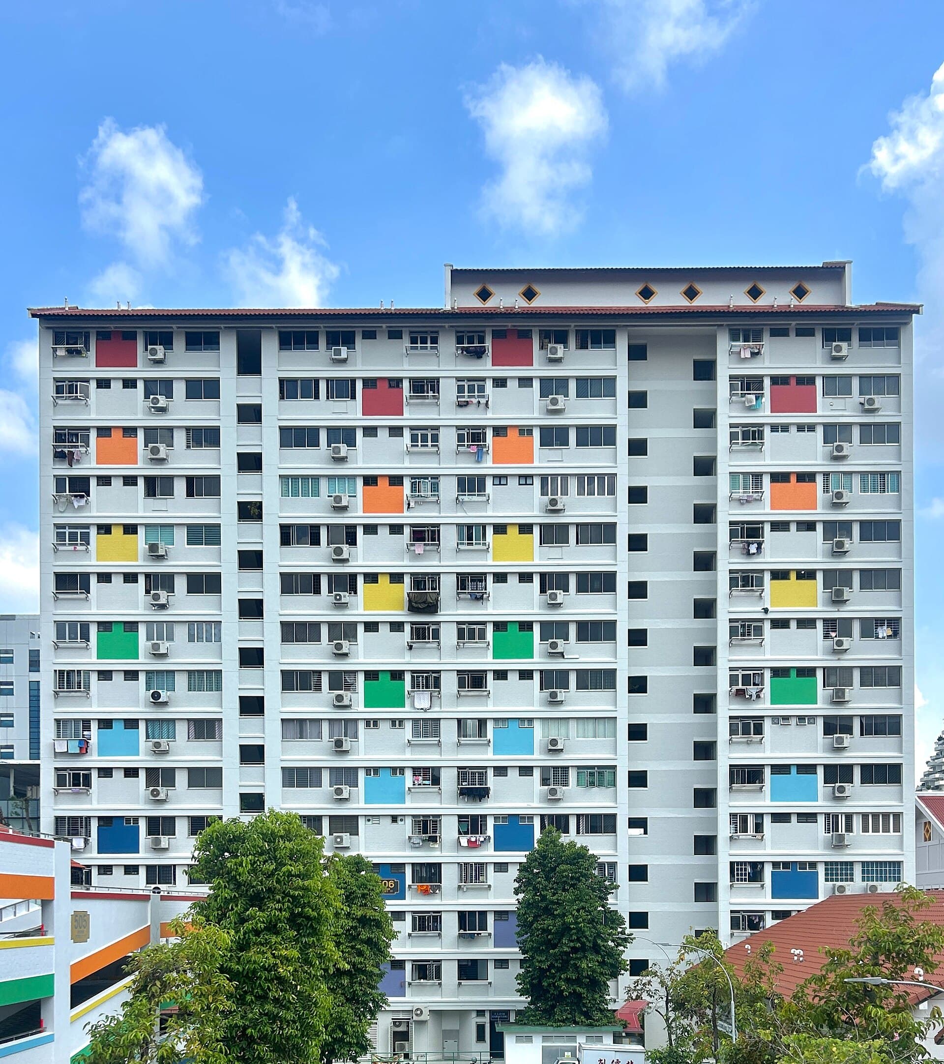
Punggol Waterway Park is the linear park that the town is organised around: a freshwater channel, bridges, playgrounds, the odd café kiosk, and a lot of residents on shared bikes. The Waterway Terraces — the horseshoe blocks that face the water with stepped decks — are the architectural postcard of this generation of HDB. They photograph as a resort. They function as a high-density estate with a nicer view than a central car park.
Walk the terraces from the public paths. Do not wander into the void decks as if they were a hotel lobby. The same rules as any heartland block apply: the playground is for the children who live there, the benches are for the elderly, and your picnic should not colonise the only shaded table at 5pm.
Oasis Terraces and the other neighbourhood centres do the weekly shop for people who do not want Waterway Point’s weekend crowd. They are dull in the best sense: clinic, supermarket, food court, tuition. A tourist skip is built into them. A resident weekend is built into them too. If you want to see how a new town feeds itself, eat at the food court on a weekday evening, not at the mall on a Saturday.
The estates are young. You will see prams, incoming BTOs still in hoarding, and a demographic that is thinner on the eighty-year-olds who fill Queenstown’s benches. That will change. For now it means the parks are loud at 6pm and the coffee shops fill with families rather than with uncles who have been coming since 1974. Neither is more authentic. One is just newer.
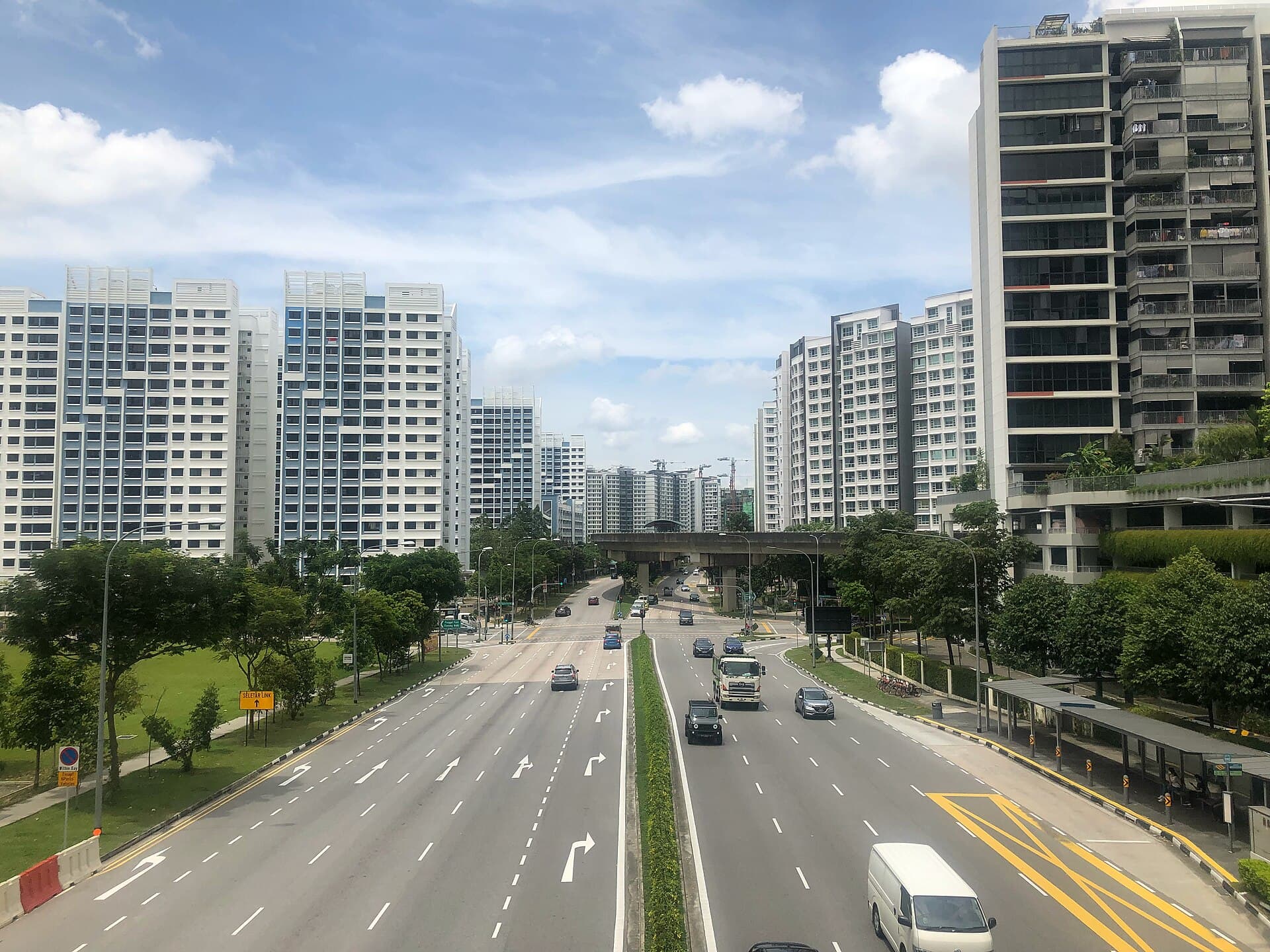
Matilda, Sumang, Punggol Walk, Punggol Way: the names on the pedestrian bridges are how you navigate. The view from those bridges — flats, sky, a ribbon of water — is the image that should have travelled, and mostly did not, because it does not match the Raffles-and-shophouse export.
Coney Island and the wild edge
At the north, Punggol Promenade runs you toward Coney Island (Pulau Serangoon), which is the reason some visitors finally get on the North East Line. The island is a different register: casuarina, a slightly unkempt coastal path, cows if you are lucky, and an opening-hours regime that is easy to miss. The usual window is 7am to 7pm; do not get yourself locked toward the wrong bridge at dusk.
Access is from the promenade, on foot or by bicycle, across the bridges that connect the mainland path to the island. There is no MRT on the island and no need for one. Our Coney Island guide covers the east-side path and the bits that still feel unmanicured. Pair it with the waterway only if you have the morning; the combined distance looks small on a phone and feels long on an unshaded afternoon.
Cycling is the resident sport. The waterway, the promenade, and the connectors toward Sengkang and the north-east coast are built for it. A weekend morning here is full of rental bikes, folding bikes, and the serious road cyclists who are only passing through on the way to a longer loop. The park connector network is the wider map; Punggol is the stretch where the connector is not a leftover drain but the town’s main idea.
Share the path. Bell or voice before you pass. The waterway is also for toddlers on scooters and for uncles walking off a medical appointment. A town that sold “lifestyle” still has to function as a pavement.
Heat, haze and a weekend that stays in the north-east
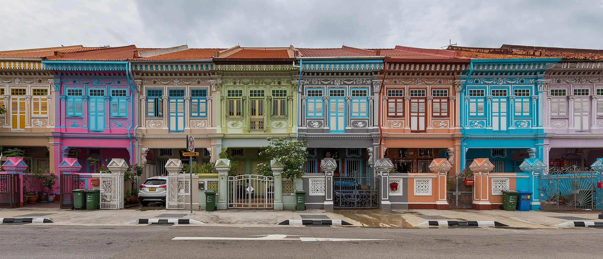
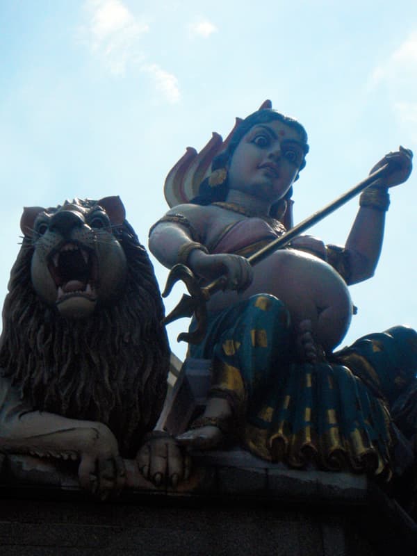
Punggol will not give you a temple gopuram or a row of Peranakan tiles. It will give you a Saturday that a lot of Singapore already lives: mall coffee, a ride along water, a playground, a packed lunch from the food court, home before the 4pm storm. That storm is reliable. Plan to be under a LRT station or a block corridor when it arrives, or accept that you will be wet.
Haze, when it comes, is uglier here than in a shophouse street because so much of the recreation is outdoor and unshaded. Check the PSI. If it is poor, the mall and the library at Punggol will hold a family; the waterway will not be worth the throat. Heat is the more common limit. A 7.30am start is not keenness. It is competence.
From town, the North East Line to Punggol is the clean ride — twenty-something minutes from Dhoby Ghaut, longer from HarbourFront. You do not need a car. You may want one if you are moving grandparents and a pram, and even then the promenade is still a walk at the end.
A useful first loop: Punggol MRT, down to the waterway, ride or walk east toward the terraces, then north toward the promenade. Turn back at the island if the hours or the heat are against you. Eat at Oasis or back at the mall.
The waterway towns are easy to mock from a conserved terrace in the east. They are also the largest piece of new domestic landscape the island has built this century. Tourists skip them because nobody put a dome at the end of the channel. Residents use them because the channel is where the Saturday goes. Come up here once on a hired bicycle. The city you think you know has a whole other grain, and it is already full.